Primitive Weather Forecasting on Northern West Coast

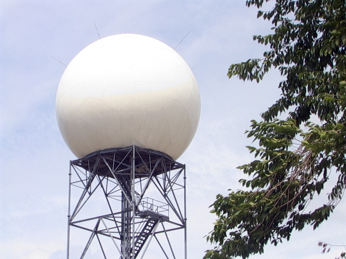
(Above is a Doppler Radar weather Station)
As we face yet another snowstorm Christmas eve ooops they canceled the weather warning, unlike the one a few days earlier that they did not forecast. Our federal goverment continues to be too cheap to care about our northern residents. With only 4 out of Canada’s 31 Doppler Radar weather Stations in British Columbia, Aldergrove (near Vancouver), Prince George, Silver Star Mountain (near Vernon) and Victoria in British Columbia, the western north coast remains uncovered.
The logical location should be north of Prince Rupert or in the Nisga’a Nation’s territory, north of Terrace.
With Doppler radar not only would our coastal waters be safer from weather related accidents, the entire transportation corridor from Prince Rupert to Burns Lake would be safer, you would be able to more accurately predict snow slides, road maintenance could be alerted in advance, the CN could also greatly benefit, knowing what to expect on the rail tracks even airports would benefit from the additional information. Likewise Highway 37 would greatly benefit, there are far to many weather related deaths on that highway, Dease Lake would greatly benefit as well as both aboriginal and no aboriginal communities in the north. For more than a decade our citizens have been on Ottawa’s ignore list because we keep voting for socialists. (NDP)
The number of needless deaths on our highways might have been averted, including mud slides related deaths, if we had better radar in place.

The image above shows you the area from Burns Lake to Haida Gwaii remains completely open to antiquated weather reporting.
The Prince George Weather Station does not see any Pacific storms until they cross into its Doppler range.
Meteorological radar sees only those clouds that produce precipitation. So it became a useful tool in telling exactly where it is raining or snowing at any given instant in time. It also gives a very good estimate of the intensity of the precipitation because a greater returning signal means the presence of more and larger raindrops and snowflakes. Meteorological radar is designed so it can either sweep in a horizontal circle or up and down. It can have an effective horizontal range up to about 250 km before the curvature of the Earth hides too much of the lowest regions of the atmosphere, extending from the earth’s surface to a height of about 8 to 12 km.
Environment Canada’s network of 31 sites is concentrated in the most populated parts of Canada, providing radar coverage to more than 95 per cent of Canadians. The network’s primary purpose is the early detection of developing thunderstorms and high impact weather, as well the tracking of precipitation.
Environment Canada’s weather radars have a detection range of 250 km around each site and a Doppler range of 120 km. The Doppler data is used to detect severe weather such as tornadoes. Current radar images are displayed on the Weatheroffice website and historical radar images are available at the National Climate Data and Information Archive.
